thanx, at the moment, i am using google earth for the track image with an east-west, or north-south, line drawn with the ruler tool, usually 800 meters exactly, then screen cap
this gives me correct orientation to north, and a clear line to scale and match to the grid in the track editor
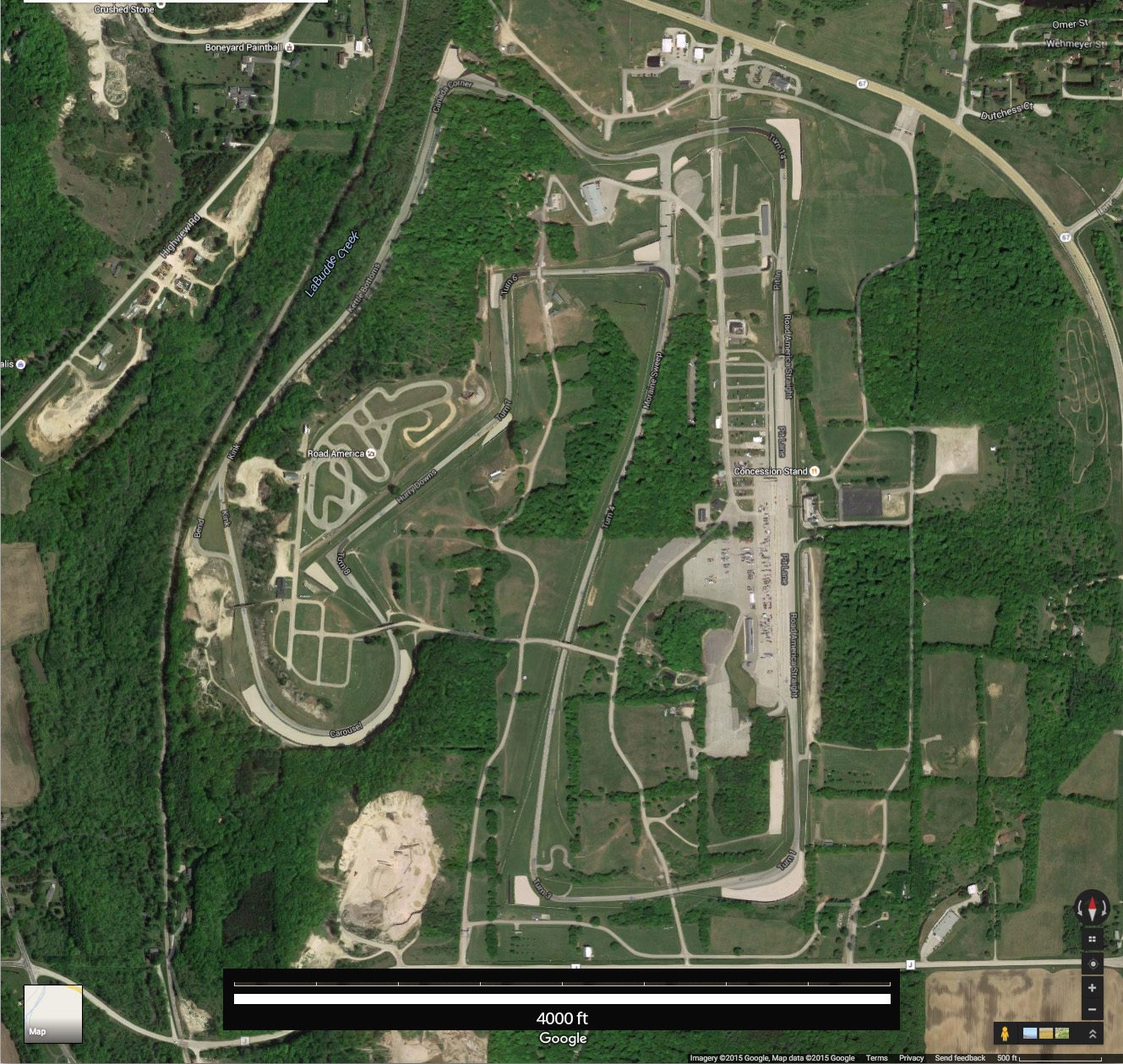
i much prefer 'drawing' it myself, tracing a satellite photograph, massaging my track to the actual tarmac,
rather than relying on the track editor to just center a track surface on a single car trace with GPS, or a single line drawn by me
matching my surface to the photographed surface allows me get a more faithful reproduction
that said, there are so many other 'little things' that prevent real accuracy, elevation and camber, to name a couple, that whatever method works for any of us is fine
i know my way can be tedious, infuriating, a total nightmare, compared to loading a KML or GPS file, but i prefer the results